
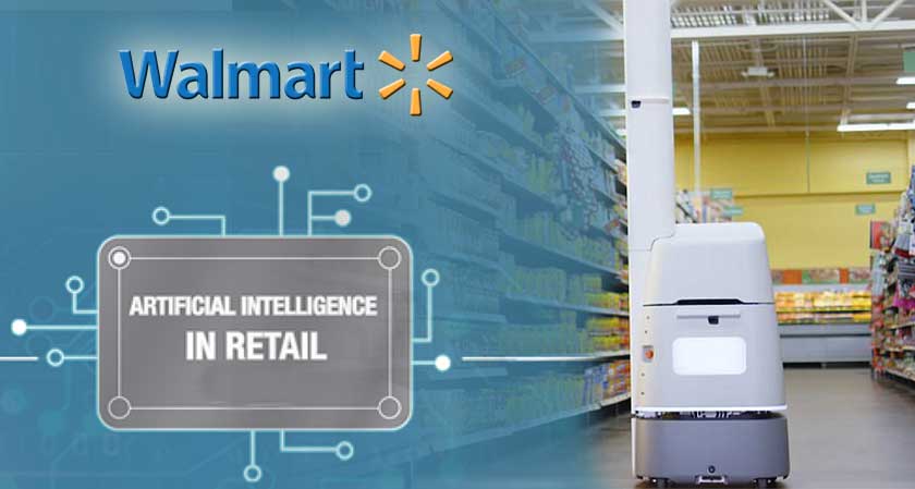
In the ever-changing world of technology and retai...
news-extra-space
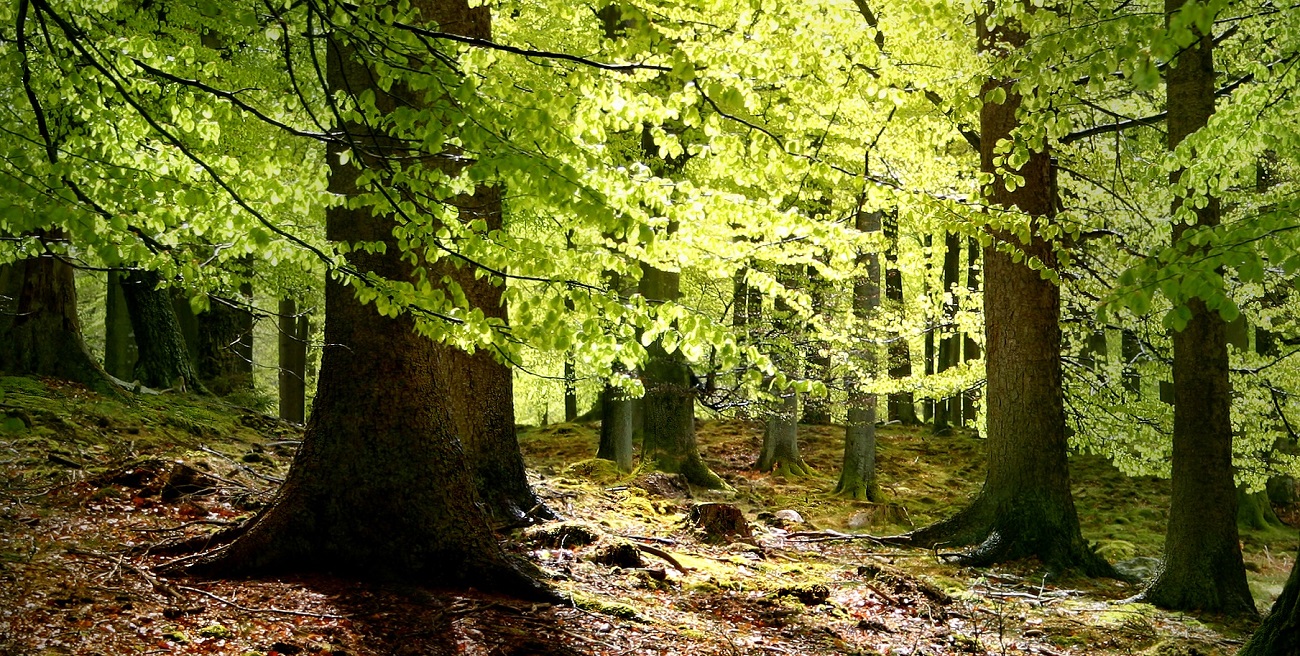
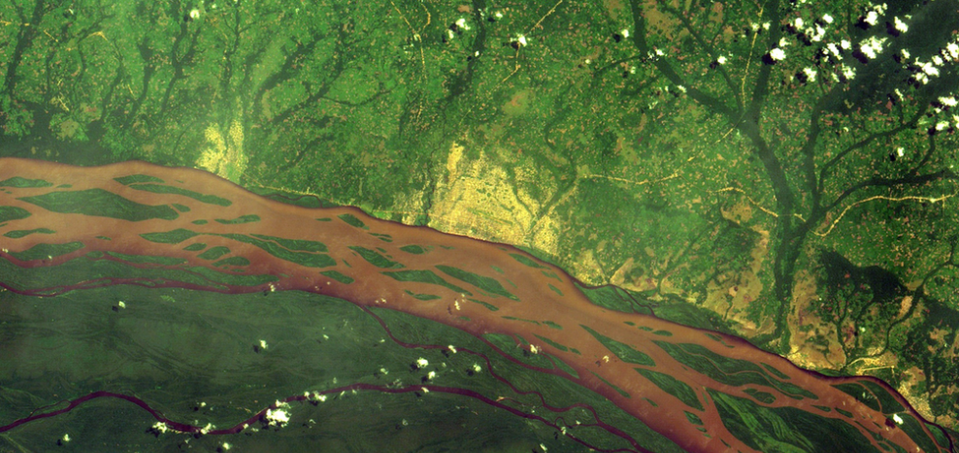 "But just saying that we're going to restore, it's not enough," says Yelena Finegold, forestry officer at the Food and Agricultural Organization (FAO) of the United Nations. "There's the need for responsible planning of how that ecosystem restoration will happen, followed by actions on the ground enabled by investments in restoration and monitoring systems to track that ecosystem restoration."
It is the FAO's Framework for Ecosystem Monitoring. This site launched last year to use satellite imagery to highlight changes to the forest worldwide. "We use to use the reflected energy to map forests in 3D, including their height, canopy density, and carbon content," adds Dr. Duncanson, a leading remote sensing expert. "This is an exciting new technology because for decades we have been able to observe deforestation from space, but now with Gedi, we can assign the carbon emissions associated with forest loss [for greater accuracy]."
"Now, what we're trying to do is not just understand the volume of forests being lost, but where is it specifically being lost in this district or that, so that we can monitor loss, and even prevent it in near real-time, from getting worse," says FAO forestry officer, Akiko Inoguchi.
"But just saying that we're going to restore, it's not enough," says Yelena Finegold, forestry officer at the Food and Agricultural Organization (FAO) of the United Nations. "There's the need for responsible planning of how that ecosystem restoration will happen, followed by actions on the ground enabled by investments in restoration and monitoring systems to track that ecosystem restoration."
It is the FAO's Framework for Ecosystem Monitoring. This site launched last year to use satellite imagery to highlight changes to the forest worldwide. "We use to use the reflected energy to map forests in 3D, including their height, canopy density, and carbon content," adds Dr. Duncanson, a leading remote sensing expert. "This is an exciting new technology because for decades we have been able to observe deforestation from space, but now with Gedi, we can assign the carbon emissions associated with forest loss [for greater accuracy]."
"Now, what we're trying to do is not just understand the volume of forests being lost, but where is it specifically being lost in this district or that, so that we can monitor loss, and even prevent it in near real-time, from getting worse," says FAO forestry officer, Akiko Inoguchi.

Leave a Reply


In the ever-changing world of technology and retai...

In a bid to capture the attention of users and dri...
Apple is preparing for a game-changing move with i...
Google has been making huge headways in artificial...
Elon Musk's artificial intelligence firm, xAI, is ...

In a digital showdown that has captured the attent...