


source: TIME The increasing demand for large la...
news-extra-space
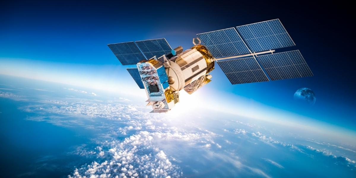
 Hurricane Ian, which left an unusually wide path of devastation, severely wrecked a large portion of South Florida. Satellite data and ground reports both clearly show this.
Spatial and environmental experts swiftly offered a rare comprehensive perspective of the damage over the entire state using a cutting-edge method.
Using a combination of images from four satellite sensors and pre-storm satellite photographs, the CONUS disturbance watcher is a catastrophe monitoring system that can map damage with a 30-meter resolution and refresh its data often.
It appears that in the years to come, the satellite sensor system may experience significant advancements, becoming a more useful tool for mapping catastrophic ground damage.
The potential for quicker, more targeted satellite disaster monitoring is hinted at by this. According to experts, it might eventually be applied nationally.
Hurricane Ian, which left an unusually wide path of devastation, severely wrecked a large portion of South Florida. Satellite data and ground reports both clearly show this.
Spatial and environmental experts swiftly offered a rare comprehensive perspective of the damage over the entire state using a cutting-edge method.
Using a combination of images from four satellite sensors and pre-storm satellite photographs, the CONUS disturbance watcher is a catastrophe monitoring system that can map damage with a 30-meter resolution and refresh its data often.
It appears that in the years to come, the satellite sensor system may experience significant advancements, becoming a more useful tool for mapping catastrophic ground damage.
The potential for quicker, more targeted satellite disaster monitoring is hinted at by this. According to experts, it might eventually be applied nationally.
 According to Interesting Engineering, comparable satellite technology has already been created in the past to identify high-risk locations for floods, wildfires, landslides, and other disasters as well as to assess the damage following these calamities.
But AI technology does away with the requirement that sensors evaluate the most recent photographs of a single area at a time, unlike conventional satellite sensors.
Experts are actively creating near real-time surveillance of the entire hurricane-prone United States in order to offer the most recent land data in the case of the next major disaster.
According to Interesting Engineering, comparable satellite technology has already been created in the past to identify high-risk locations for floods, wildfires, landslides, and other disasters as well as to assess the damage following these calamities.
But AI technology does away with the requirement that sensors evaluate the most recent photographs of a single area at a time, unlike conventional satellite sensors.
Experts are actively creating near real-time surveillance of the entire hurricane-prone United States in order to offer the most recent land data in the case of the next major disaster.

Leave a Reply


source: TIME The increasing demand for large la...
According to IET, engineers at the University of W...

The Hubble Space Telescope's image from this week ...

An international crew of four astronauts will laun...
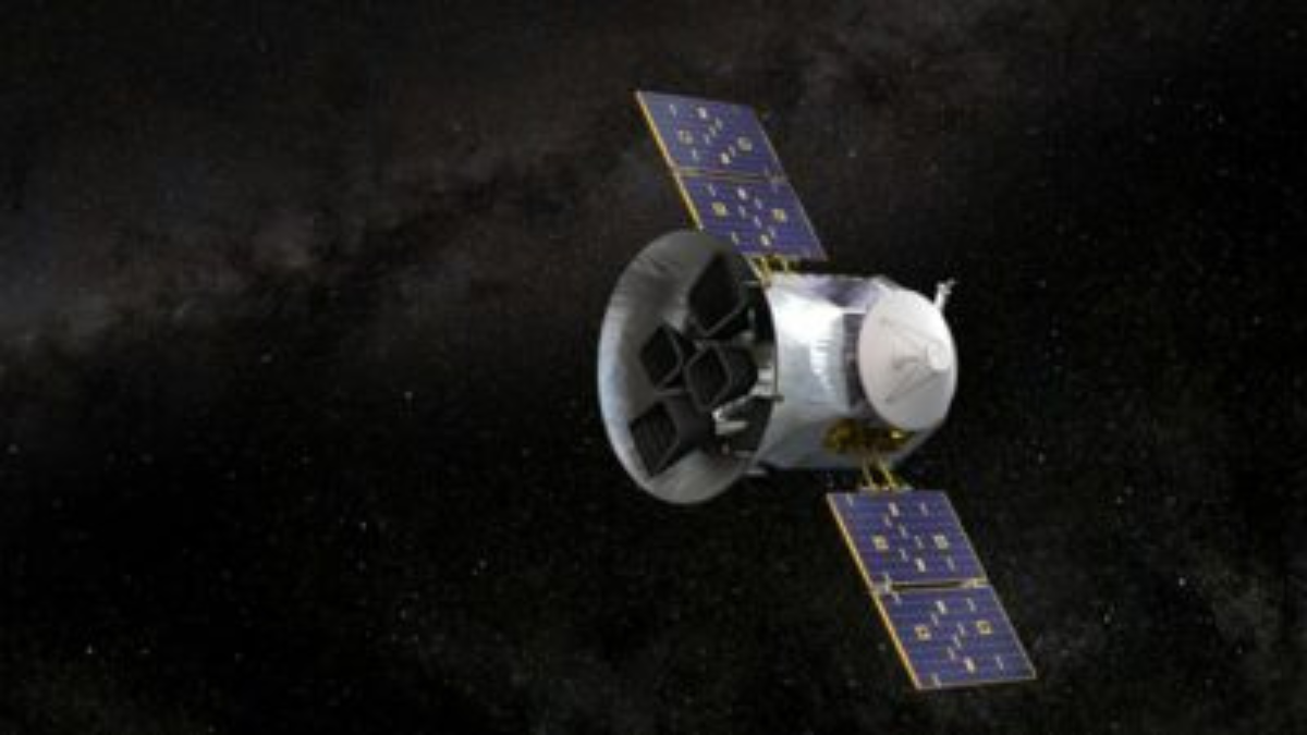
The CAPSTONE satellite, operated by NASA, has been...
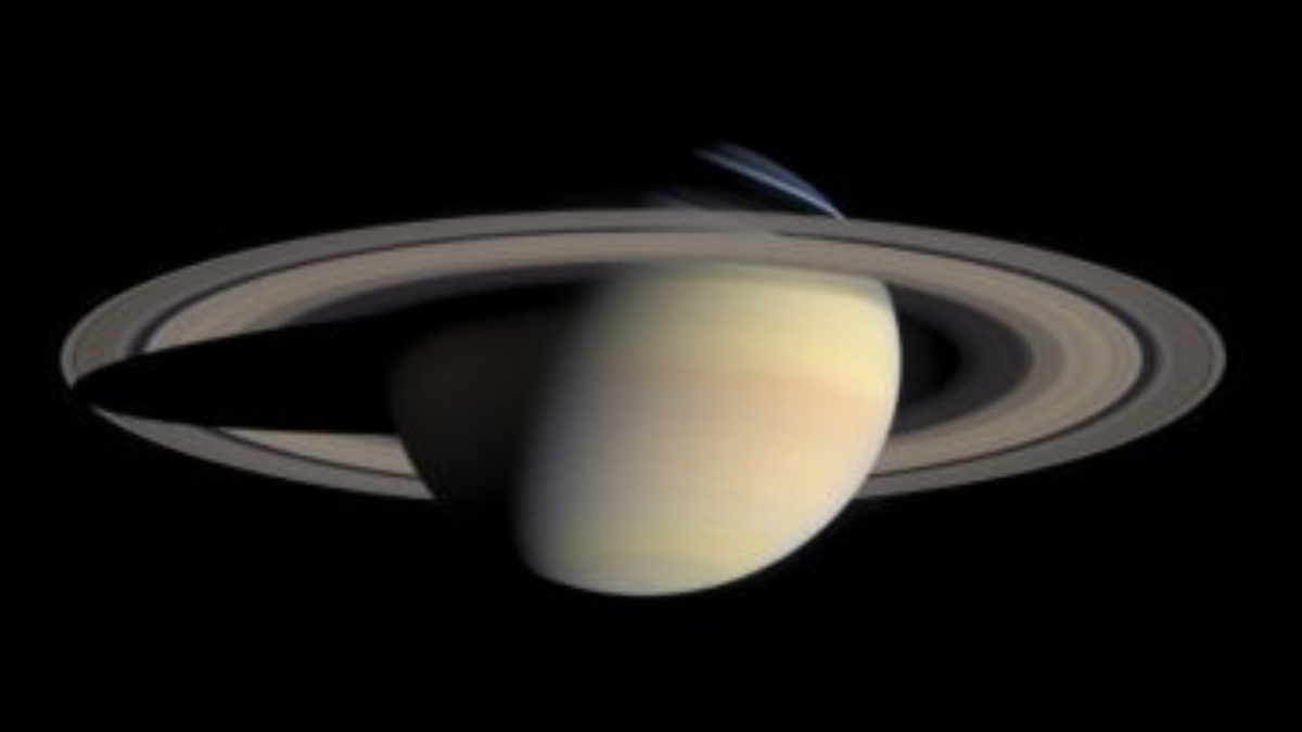
Saturn is known for its stunning rings, yet these ...