This Space Tech Helping Tackle Deforestation, See Details
August 02, 2022 By Raulf Hernes

(Image Credit Google)
Leonidas Nzigiyimpa, the conservationist, says, "You can't imagine what you don't know." and adds, "To improve the situation of forests, we need to use new technology." Mr. Nzigiyimpa is the chief warden of five protected forestry areas in Burundi's small central African country.
For the past two decades, he has been working with local communities to protect and manage the forest. His face lights up when he describes new areas' smell and beauty. In this noble work, Mr. Nzigiyimpa will consider a range of factors like monitoring the impact of human actions and economies to track biodiversity and the effects of climate change. He uses the Integrated Management Effectiveness Tool to record and track this data. This tool was developed for monitoring such environmental work by project Biopama. European Union and 79 member state Organisation of African, Caribbean, and Pacific States.
"So, we use this tool to train the site managers to use it to collect good data, and to analyze this data, to take good decisions," says Mr. Nzigiyimpa. By this tool, United Nations reported that around 10 million hectares of the world's forest are lost annually. This deforestation is accountable for 20% of carbon dioxide emissions. World Wildlife Fund says that "by reducing forest loss, we can reduce carbon emissions and fight climate change."
 "But just saying that we're going to restore, it's not enough," says Yelena Finegold, forestry officer at the Food and Agricultural Organization (FAO) of the United Nations. "There's the need for responsible planning of how that ecosystem restoration will happen, followed by actions on the ground enabled by investments in restoration and monitoring systems to track that ecosystem restoration."
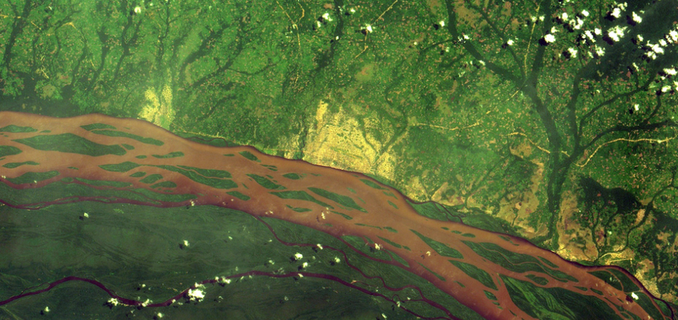
It is the FAO's Framework for Ecosystem Monitoring. This site launched last year to use satellite imagery to highlight changes to the forest worldwide. "We use to use the reflected energy to map forests in 3D, including their height, canopy density, and carbon content," adds Dr. Duncanson, a leading remote sensing expert. "This is an exciting new technology because for decades we have been able to observe deforestation from space, but now with Gedi, we can assign the carbon emissions associated with forest loss [for greater accuracy]."
"Now, what we're trying to do is not just understand the volume of forests being lost, but where is it specifically being lost in this district or that, so that we can monitor loss, and even prevent it in near real-time, from getting worse," says FAO forestry officer, Akiko Inoguchi.


